- Distance today: 10.2 mi
- Distance Camino 2017: 345.0 mi
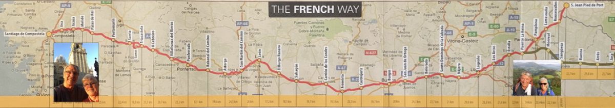
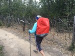
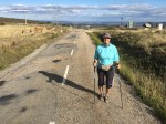
As we left Santa Catalina, it was a nice walking morning except for the 10mph wind in our face.


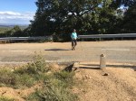
We stopped at Ganzo (pop.30) for breakfast and for Jim to put on a windbreaker and Linda a buff to cover her ears.
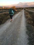
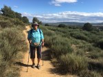
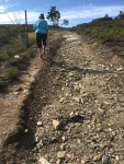
We continued on and the clouds got more ominous as we climbed deeper into the Cantabrigians Mountains, so we put on our pack covers and put our ponchos in outside, easy-to-reach pouches for the inevitable deluge. But thankfully, all we got was continuing winds and drizzle.
We reached Rabanal del Camino (pop.73) after climbing over 650 feet to an elevation of over 3800 ft.
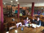
The Hosteria El Refugio (50€) didn’t open until 11:30, so we had an early lunch at a nearby bar while we waited to check in.


We settled into our room and as we had hoped, the skies began to clear around 2:00 so we had a pilgrim lunch/dinner at 4:00 and then decided to walk to Foncebadón, another 3.5 miles up.
We originally wanted to stay tonight at Foncebadón but everything was booked so we opted to stay in Rabanal. This put us in the situation of having to walk nearly 11 miles tomorrow starting with the steep climb to Foncebadón, another steep climb to the Cruz de Ferro, the highest point on the Camino Frances, then another 5 miles down steep, rocky terrain to El Acebo.
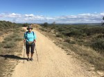

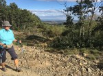
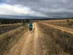
We made our way to Foncebadón, by climbing another 800 ft to an elevation of 4600 ft, enjoying the beautiful views on the way up and at the top, allowed now by clear, blue skies. Once we got to the first albergue, at about 6:30pm, we called for a taxi and by 7:15, we were back in our room for the night in Rabanal del Camino.
We’ll sleep easier tonight knowing that we won’t have to tackle the walk to Foncebadón in the morning.
