Walked: Today: 7.0 mi/Camino 2022: 21.6 mi
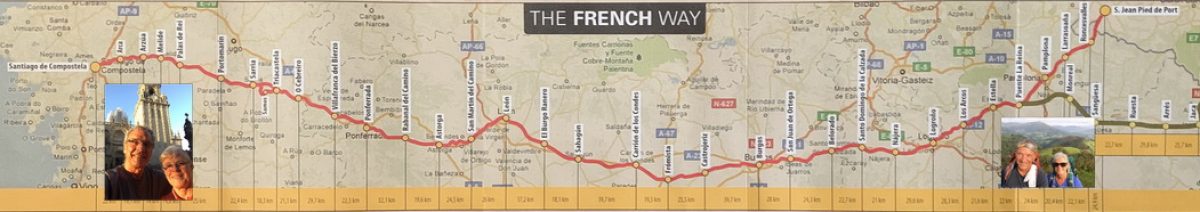
We had planned to have our taxi return this morning to the Virgin de Baikorri, where we finished yesterday. But on our trip up the Pyrenees by taxi, we decided to cut ourselves some slack for today’s walk. Our driver, instead, drove 2.2 miles past the Virgin to the Croix de Thibault, located at the point where the Camino leaves the pavement and heads upward toward Spain. So the Croix (Cross) is where we began today’s walk.
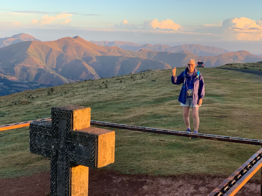
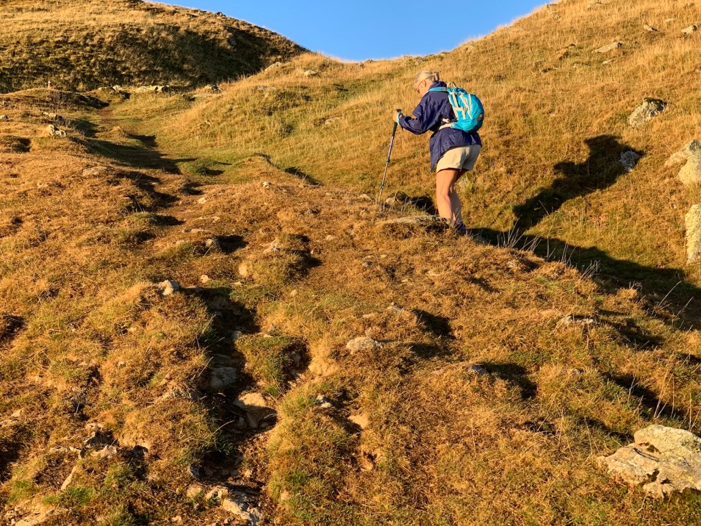
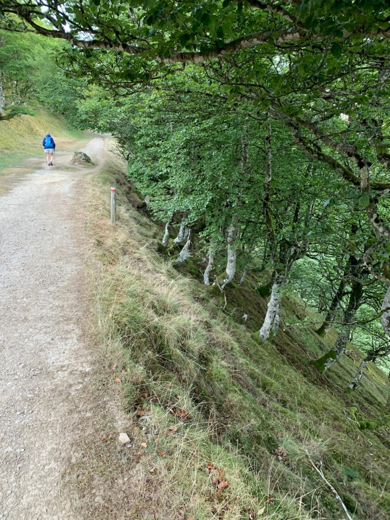
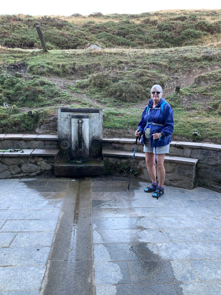
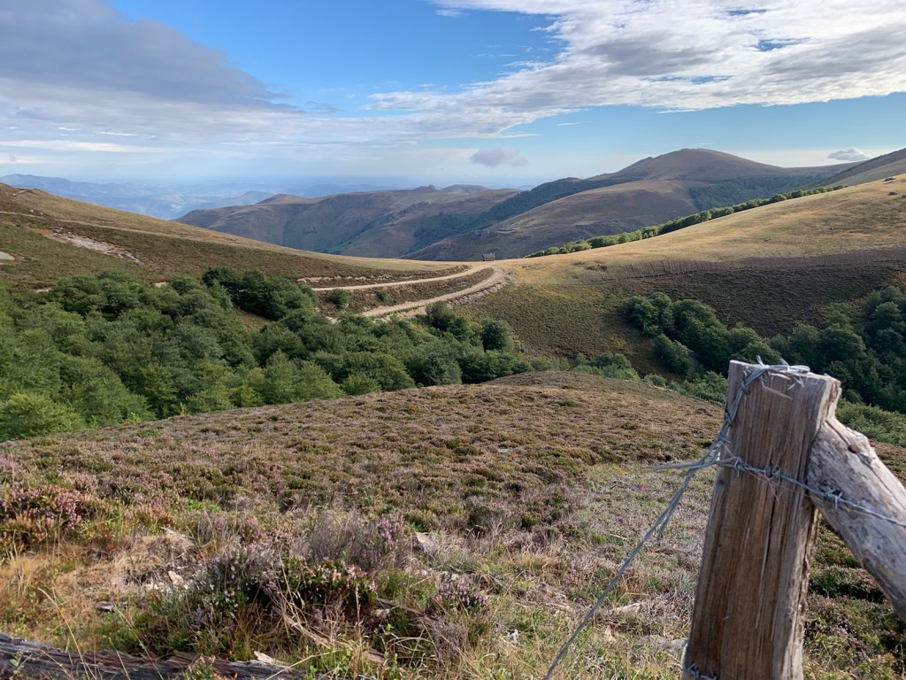
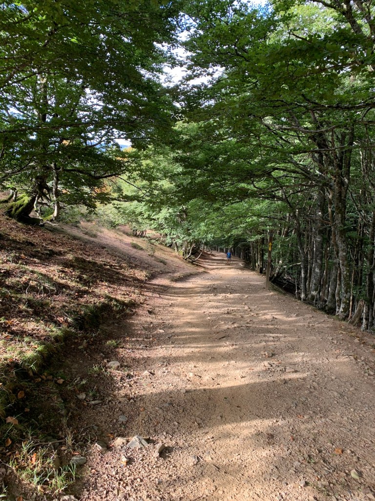
Immediately, the path became very steep and more like a wash of deep rock laden gullies. This continued for nearly 30 minutes until we finally reached a wider path/ narrow farm road that took us to the Fountain of Roland at the Spain/France border… which was a cattle guard/gate (unattended).

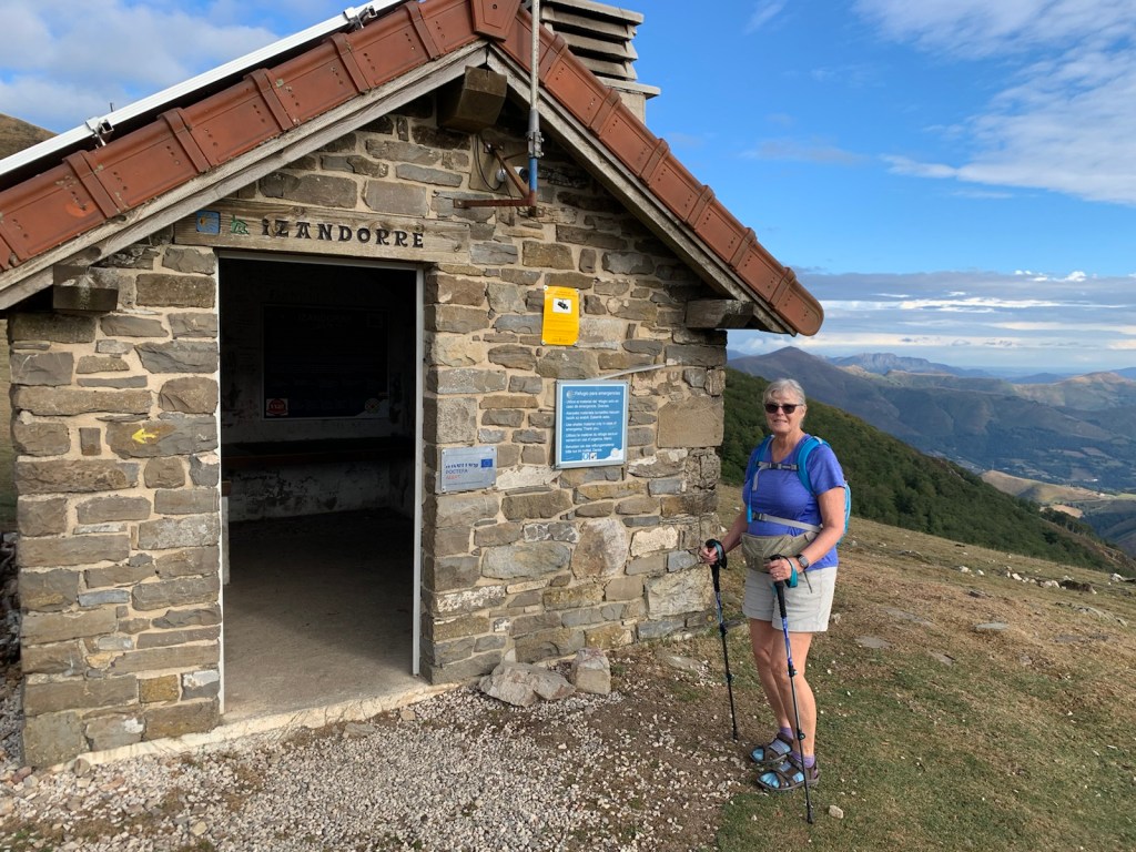
Several miles later we passed the emergency shelter that we and a dozen other pilgrims used in 2012 to get a half hour of relief from gale force winds with horizontal driving rain. dense fog and 50F shivering temperatures. We always stop here for a few minutes, to take a break before the final steep climb to appreciate the beautiful clear, blue sky, refreshing breeze and be thankful for this special, strategically placed refuge.

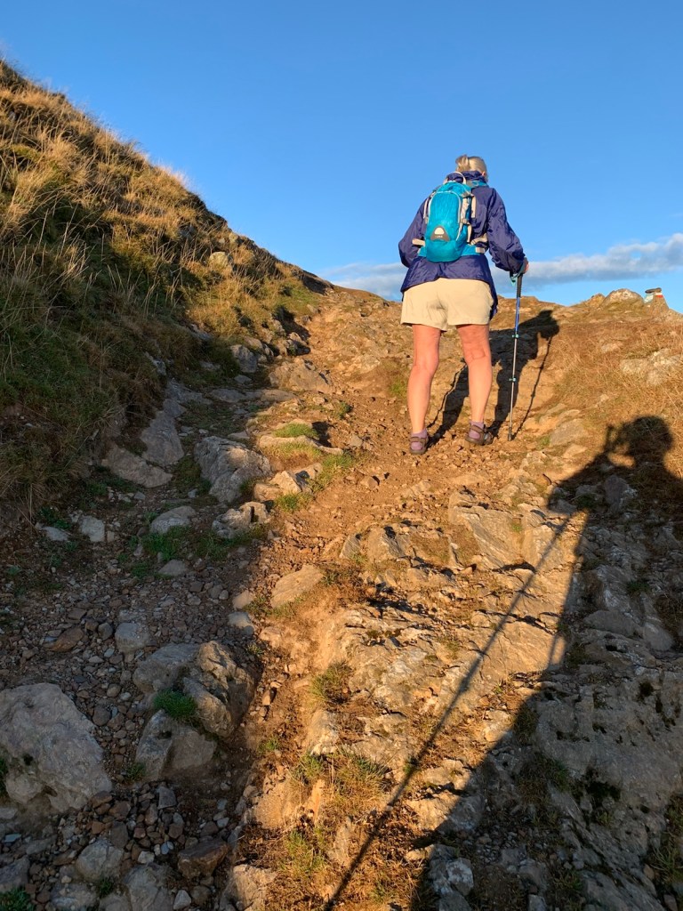
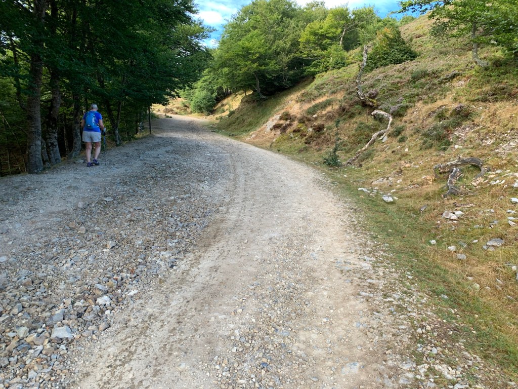
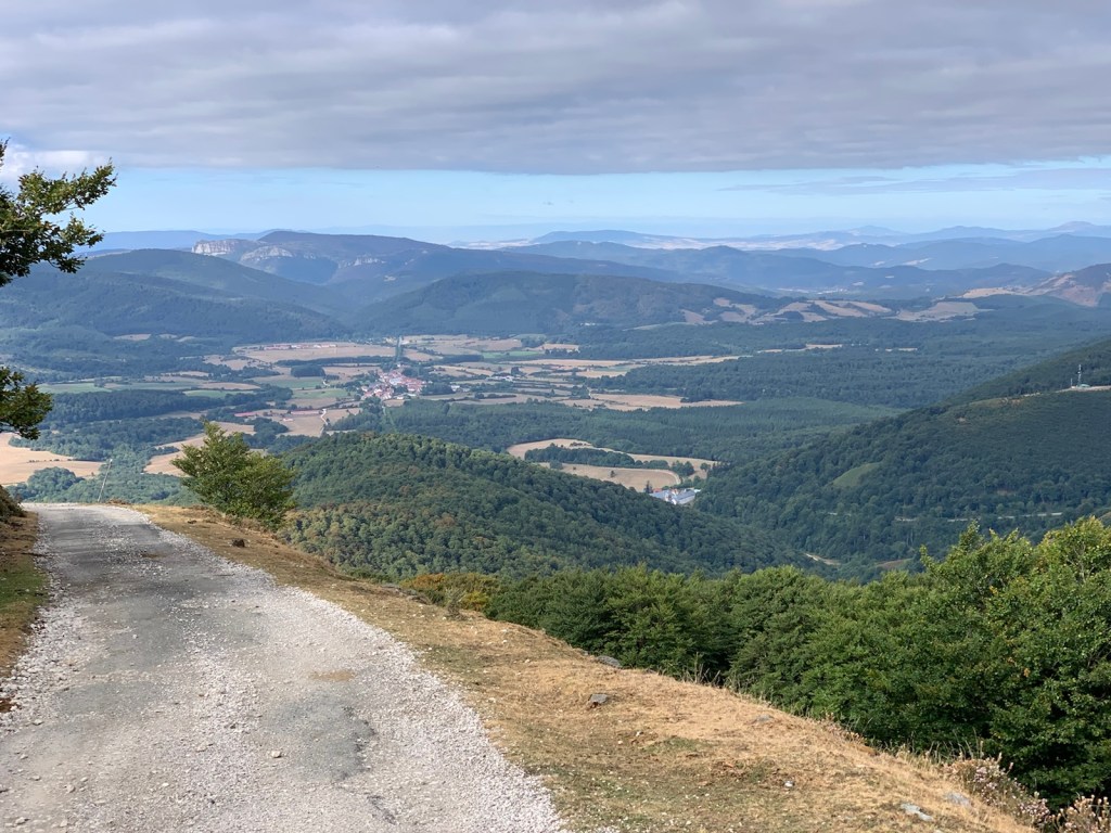
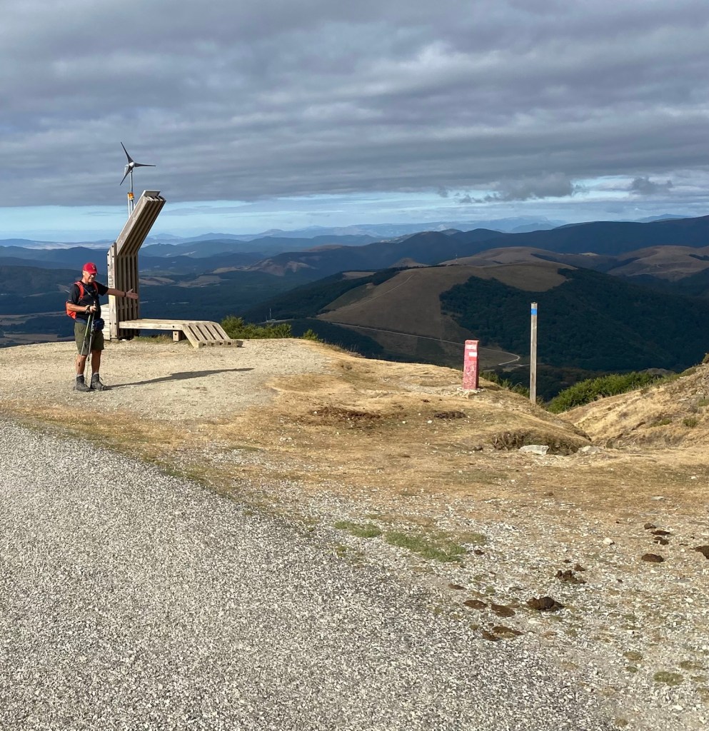
For the next half hour we climbed a final steep, pebble covered road, passing a beautiful Basque horse (we bet our grand- niece, Abbie, would like to ride) and continued until we reached the summit of the Col de Lepoeder, to begin the trecherous descent into Roncesvalles.

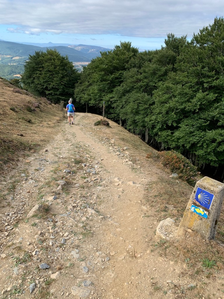
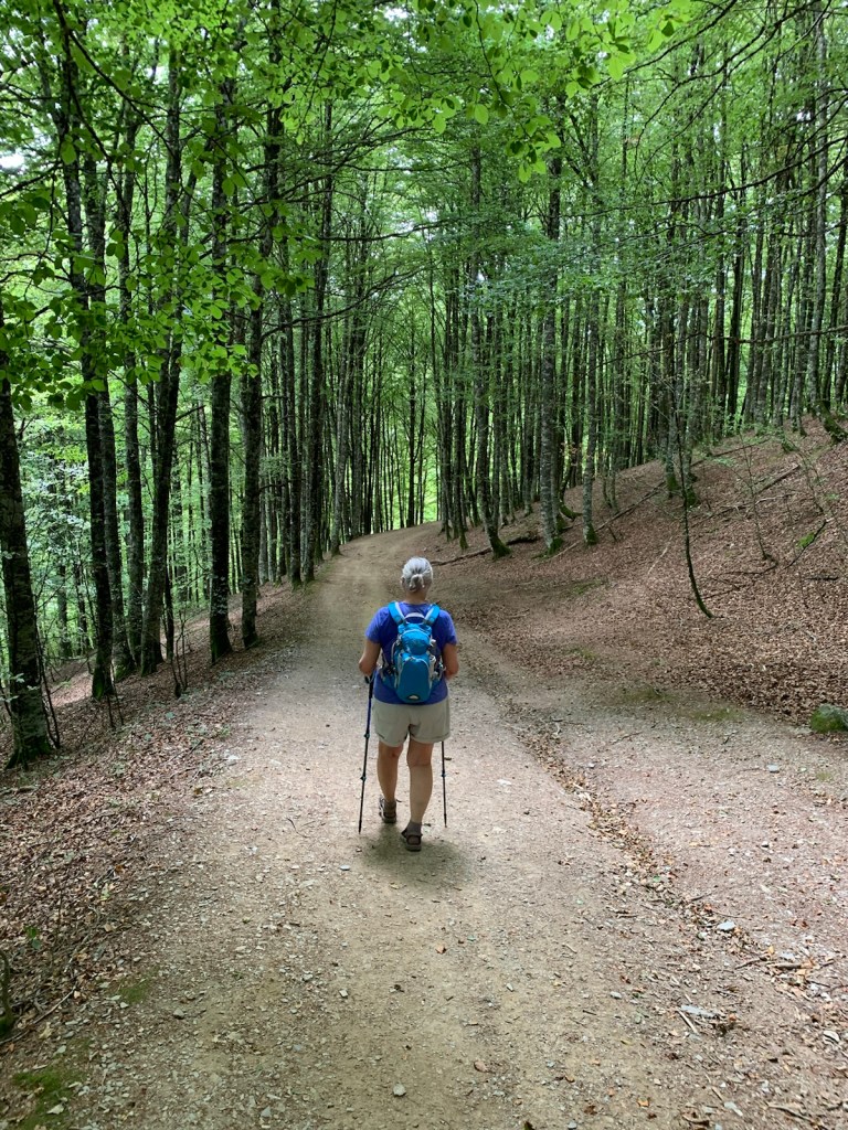
The most difficult 1/2 mile of the Camino, thus far, was the struggle to maintain footing and avoid a major leg injury on the initial descent down the mountain from Lepoder toward Roncevalles. We used our trekking poles to hold us back and maintain balance over the root and rock covered wash-of-a “path”. But even with this extra precaution, each step risked becoming a potential Camino ending disaster. When we finally reached a more manageable walking surface our legs had become like jelly, near collapse.. and we struggled the final few miles into Roncesvalles. Our photos, don’t adequately portray what we experienced. Our photos are also limited because we were too involved trying to survive, to let go our our poles to free our hands to hold a phone to take a photo!!

Our backpacks were waiting for us at our hotel. We began to recover as we sat down while checking in and then made the way to the our room. Our room was roomy, upscale and comfy. The recovery process continued as we lay down and within a half-hour we were seated at our table and eating a ham & cheese baguette we brought with us from SJPDP.
Hot showers followed by a short nap and some blog writing got us to 6:00 p.m. when we sat down for a delicious dinner. Soon after, we retired for the day… still alive… a bit sore… and hopefully getting stronger.
