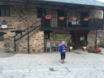
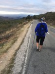
Day 54- Ruitelán to O Cebreiro

  • Distance Today                         5.9 mi
  • Distance Camino 2017        394.6 mi

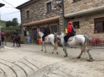
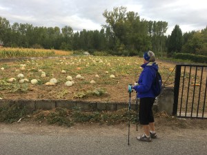
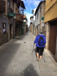
It didn’t rain today as forecasted, but was a chilly 50F, clear with high clouds giving great visibility, mostly blocking the sun and creating near ideal photo conditions. And there was a constant flow of some pilgrims and lots of tourists.

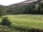
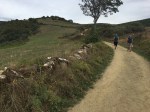
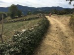
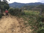
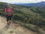
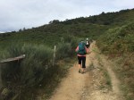
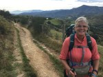
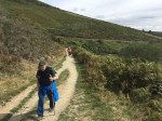
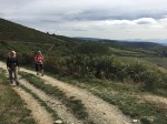
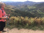
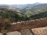
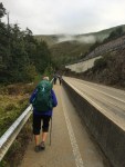
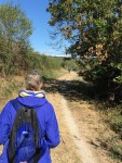
Our walk today was a real challenge even though we covered less than 6 miles. Our reward for the challenging climb was increasingly spectacular scenery with the increasing altitude.

The 1 mile walk from Ruitelán to Herrerías,
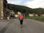
started at an elevation of 2200 ft and was pretty level, perhaps a slight incline toward the end of town.
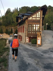
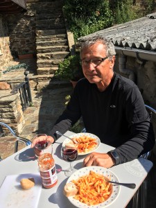
We stopped for a quick breakfast, not knowing how long before our next stop.

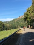
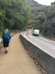
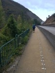
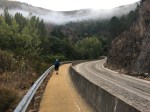
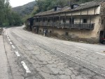
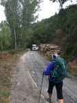
The two mile walk from Herrerías to La Faba started out with a short section of road which began to climb the mountain as the gap between the mountainsides was only wide enough for the shrinking stream at the bottom.
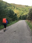
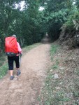
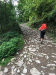
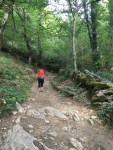
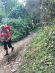
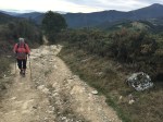
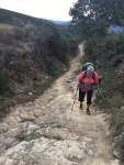
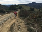
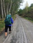
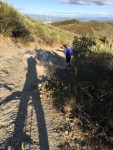
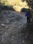
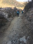
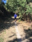
We then left the road onto a nice path through the woods which without warning made a sharp turn and became a steep, rocky path with switchbacks taking us up at least 800 ft to 3000 ft elevation.

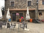
When we reached La Faba we stopped at the first bar for a tasty concoction of orange and beet juice. And a much needed break. We also met a nice couple who lived in Calgary and he had attended WVa University. They are walking to Santiago (from SJPDP also) but when they finish, plan to return a week or so later to Sarria and walk the 100 km Camino with friends.

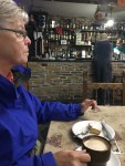
We continued on for another 1.5 miles to Laguna climbing another 800 ft to an altitude of 3800 ft. We stopped there for another break and chocolate cake and a drink.
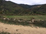
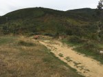
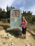
The next 1.5 miles to O Cebreiro, we climbed another 400 ft to an altitude of around 4200 ft. and our destination for the day and the beginning of the Camino into the region of Galacia.

For us, today’s climb was similar in elevation to the Pyrenees but tougher in our judgement because of the more difficult walking surfaces.

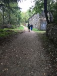
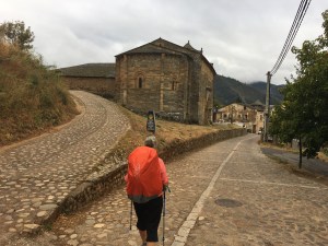
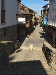
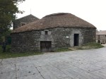
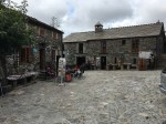
O Cebreiro is the Camino’s first official Galician town, a welcoming mountaintop village that retains its historic character. The albergue here is the first of many run by the Xunta, the governing body of Galicia. They are mostly purpose-built modern buildings or renovated schoolhouses with good facilities but a somewhat sterile atmosphere.
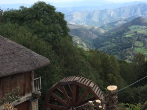
O Cebreiro bears evidence of occupation since ancient times, including a Roman way station that guarded the road to the Galician mines. The town grew to greater prominence with the pilgrim road.

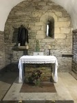
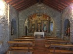
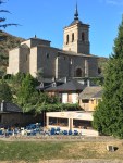
Iglesia de Santa María la Real is a reconstruction of the medieval church that was destroyed in the early 19th century. In the reconstruction, traces of a pre-Romanesque church were found. The baptismal font, virgin and chalice reliquary are from the medieval church.

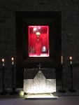
Local tradition says that the Holy Grail (the chalice from which Jesus drank wine at the Last Supper) was hidden away in O Cebreiro. In the year 1300, a faithful parishioner trudged through a snowstorm to receive communion at the O Cebreiro church. The priest mocked the man for going to such trouble for just a bit of bread and wine. At that moment, the elements miraculously transformed into real flesh and blood. The virgin, still on display in the church, was said to have moved her head to have a better look. The event was later declared an official miracle by Pope Innocent VIII. When Queen Isabel passed through 200 years later she donated an ornate reliquary for the remains. The Galician coat of arms incorporates the chalice and host as central symbols.

O Cebreiro is interesting but crowded with pilgrims and tourists and souvenir shops & vendors. It seemed to be missing some of the more tempered Camino ambiance and spirit we have experienced up to now.
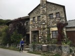
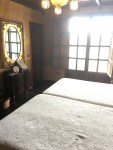
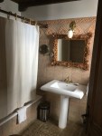
We stayed at the Casa VentaCelta (45€) which was ok, but we were disappointed in the cold, curt and not-helpful attitude of the bar and hotel staff, very uncharacteristic for our experiences of the previous 53 days of our Camino 2017.
Day 53- Trabadelo to Ruitelán

  • Distance Today                        6.4 mi
  • Distance Camino 2017        388.7 mi

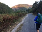
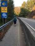
We didn’t leave our casa until around 8:30 to give the sun some time to remove the chill from the 50F air. The first 3 miles were similar to yesterday, mostly walking along the highway with the autovia crossing us periodically.

We crossed the Rio Valcarce, which probably formed this gap between the mountains millions of years ago, no less than 9 times in the space of a mile. Just before Portela de Valcarce, we stopped at a huge truck stop and had breakfast.

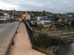
The remaining three miles of our walk was delightful. The Camino found a narrower road, the concrete barriers disappeared and the traffic became minimal. An occasional waterfall was heard in the river below, adding to the serenity of the pleasant, gradual climb up through the valley, getting ever closer to our ascent for tomorrow. We passed through the villages of Portela de Valcarce(pop.27), Ambasmesta (pop.46), Vega de Valcarce (pop.703) and finally stopped at our albergue in Ruitelán (pop.23).

Each village looked a little different but each had the kind of charm that made you want to stop and visit for a while.

We’ve noticed the pilgrim traffic increasing today as it has since leaving Ponferrada. This may be the expected wave of pilgrims who began in early September. Also, the average age has probably increased from the mid 20’s to 50’s or more, also suggesting a group not limited to walking during summer vacations.

We checked into Albergue San Froilan (38€), which we discovered has only been open for 3 months. It’s very nice and Yolanda has been very helpful and friendly to help us get settled in. There is also a very nice bar/cafe “Omega” a few steps away with good food and very competitive prices.

We did some light washing to take advantage of the clear, dry sunny afternoon, as the forecast for tomorrow is rain.

We took a brief walk to the end of the village to see what to expect tomorrow then returned to the albergue for blogging, napping and reading until pilgrim dinner at 7:30.

Dinner was prepared by our hostess, Yolanda and was shared with two fellow Peregrinos from Argentina. She was a semi-retired attorney and he a physical therapist, who were starting their Camino from here, having just arrived from Argentina this afternoon. We had a delicious dinner including more local Bierzo (Mencía grapes) wine and wonderful conversation as the attorney spoke excellent English.

A great finish for another wonderful day on the Camino.


Day 52- Villafranca del Bierzo to Trabadelo

  • Distance Today                    6.3 mi
  • Distance Camino 2017    382.3 mi

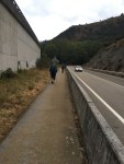
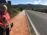
Our entire walk today was on the road. Fortunately, we had a nice concrete barrier between us and the vehicles, mostly local cars, as we were also weaving through a gap in the mountains with the autovia crossing above us periodically. Also, fortunately, the road was flat with a very gradual upward slope.

We were dwarfed by steep mountains on both sides of us as we worked our way through the gap and we’re thankful that they were “up there” and we were “down here”. We’ll have plenty of mountain to climb in a couple of days.

We had a slight glitch in plans today. When we arrived in Trabadelo (pop.456) at our intended destination, the owner had never heard of us. Jim had listed the albergue in our itinerary as reserved through Booking.com.

But we couldn’t find the confirming email, etc from Booking. We’re guessing that we made the reservation on line but perhaps lost wifi during the transaction and we failed to verify that we had received the confirming email. Anyway, the place was “completo” but the owner sent us across the street to another “complete” hotel who also managed a nearby casa rural, which, lucky for us, was available.

We were grateful for the help as there is no way we or anyone else would have found the place we are staying in on our own. Which is probably why it was still available.

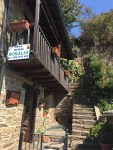
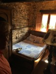
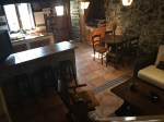
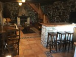
Our place for the day is a nice casa rural Rosalie(42€) with full kitchen, living area and nice outdoor patio. Another couple from northern Spain on vacation arrived around 8pm and occupies the other bedroom. We both have our own bathroom.

There isn’t much in this small village but we found a market a few doors up the street and got the fixin’s for lunch and dinner. So we shopped, cooked, napped, cooked, made reservations a few more days ahead and vegged the rest of day away.
Day 51- Cacabelos to Villafranca del Bierzo

  • Distance Today                      5.4 mi
  • Distance Camino 2017      376.0 mi

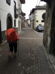
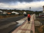
The weather was threatening this morning so we retaliated with our pack covers, successfully.

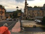
We walked for almost a mile to get out of Cacabelos, stopping for breakfast on the way.

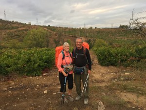
The path continued along the road for several miles. We ran into some pilgrims that we had seen a few days ago, one a young lady from Greenville. We walked with her until her other two companions took an alternate route that was longer and supposedly more scenic, also more difficult. She took a photo of us and joined her companions. We chose to stick with the traditional path along the road.
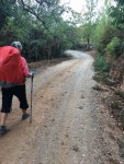
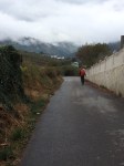
For the last few miles, the path took a turn through the vineyards and countryside,

weaving left, right, and up and down as we worked our way into Villafranca del Bierzo.

Villafranca del Bierzo is one of the most beautiful towns on the Camino, retaining much of its medieval and Renaissance character in spite of an increase of modern hotels and buildings. Several Roman castrum have been found in the area, with the strategic location at the confluence of the rivers Burbio and Valcarce and just below the mountain pass. This location later drew merchants from all over, giving the city its names (literally “city of the Franks” but more accurately, of the “foreigners.”) Villafranca marks the end of the 10th stage in the Codex Calixtinus and was home to numerous pilgrim hospitals.

Life wasn’t all that easy for the people of Villafranca, who suffered an outbreak of plague in 1589 and destruction by flood in 1715. In the Peninsular Wars of the early 19th century, French soldiers overtook the city only to be driven back by British soldiers who ravaged Villafranca, destroying the castle and stealing from churches.

On the way into town, we passed the  Iglesia de Santiago with its Puerta del Perdón, a doorway for pilgrims who were too sick to continue to Santiago. They could walk through the door in lieu of completing the pilgrimage and receive the same indulgences. 
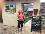
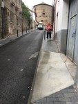
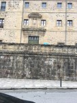
Iglesia de San Francisco, according to legend, was founded by Saint Francis of Assisi himself on his pilgrimage to Santiago.

Finding our hotel was difficult. We walked around, asking directions for about 30 minutes. It was right in front of us, a convent, which we thought was a church, no signs!

By now it was 11:30, and the hotel didn’t open until 12:00 so we returned to a restaurant we had seen on our unplanned tour of the town, that looked like it had good pizza. Pizza also wasn’t available until after noon, so we sipped more cafe con leche and churros and then had a nice lunch while we waited for our room.

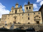
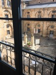
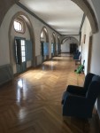
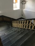
We checked into the hotel, Hotel San Nicolas del Real (50€), at about 1:00. It is a real convent with all the rooms around a courtyard. It has wide hallways, and wide stone stairs. Our room has a view of the old town and surrounding mountains.

Jim has been fighting early cold symptoms, so we didn’t do much site seeing, spending the afternoon resting while our clothes were being washed and dried (8€).

We had a very nice pilgrim dinner (just the two of us) in the cloisters of the 17th century Convent and Iglesia and then retired for the evening.

Day 50-Ponferrada to Cacabelos

  • Distance Today                      9.0 mi
  • Distance Camino 2017     370.6 mi

We spent most of the morning walking out of Ponferrada

and through several small residential communities, each promoting the wines of the Bierzo territory of Castile and León. Ponferrada is the current capital of the Comarca of Bierzo, while Villafranca del Bierzo was the historical capital. Cacabelos is between the two locations.

The territory of Bierzo is surrounded on all sides by mountains which makes the area very isolated. In pre-Roman times the region was populated by the Astures, a Hispano-Celtic Gallaecian people. They were conquered by Emperor Augustus in the Astur-Cantabrian Wars (29–19 BC) and the area quickly became the largest mining center of the Empire during the Roman period, where gold and other metals and minerals were extracted. Numerous Roman mining sites are still visible in the area as well as evidence of coal and other mining operations which dominated the economy up until the mid-20th century.

The Romans also imported grapevines, and wine production thrived in the region until the propagation of Phylloxera at the end of the 19th century, which destroyed the majority of the vineyards. The wine industry has since had a resurgence since the 1990’s and is now a major contributor to the economy as is tourism associated with the wine industry and the Camino Frances.

Today, the Camino took us through the older sections of Columbrianos, Fuentasnuevas, and Campanaraya.

While there are still a number of very old, abandoned buildings, in very poor condition, there doesn’t seem to be an effort or apparent desire to raze them. We have observed this all along the Camino and in many other parts of Europe we have visited. Old buildings, especially homes, eventually get converted to something newer, usually preserving the outside, historical architecture. Instead of demolition, a “se vende” (for sale) sign is placed on the structure and eventually, we assume, a new owner will restore it or convert it to a different end use, as we have observed, rather than starting from scratch (which says a lot about the design and integrity of the original structure).

Another interesting observation today were the gardens. The homes along the road between the villages almost all had large gardens, beautifully maintained with evidence of bountiful crops even this late in the season. And on this Sunday morning several owners could be seen with hand implements, weeding and nurturing the items still growing.
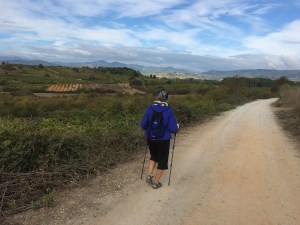
The final 4 miles of the walk took us back onto dirt paths through vineyards and other fruit and vegetable fields, in varying sizes.

The grapes in this region have apparently been harvested as very few are visible on the vines and therefore inaccessible for pilgrim snacks.

As we walked into Cacabelos, (pop.5475), on our right was Moncloa de San Lázaro (75€), our hotel, a converted 13th century pilgrim hospital. It only has 8 rooms and is apparently a destination itself, with a very popular restaurant featuring regional cuisine which was packed nearly all day, a large shop with local wines, art, crafts and sweets and a variety of facilities for groups.
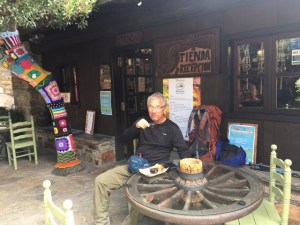
While our room was being readied we were given a glass of the local Bierzo wine made from Mencía grapes, unique to the region, and a homemade empenada to occupy the 10 minute wait… an apparent tradition for Peregrinos.
The hotel and our room is traditional and upscale in an understated way.

We both ordered the restaurant’s traditional 4 course lunch, which was very filling. It was nothing special and over-priced at 25€ per person.

After lunch (around 3:00) we returned to our room to rest from our walk, chill and swear off eating for the rest of the day.

Day 49-El Acebo to Ponferrada

  • Distance Today                      9.8 mi
  • Distance Camino 2017      361.6 mi

It was in the high 30’s when we began walking at 8:20.

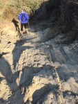
The walk from El Acebo to Molinaseca included some very difficult paths dominated by protruding and loose shale. We were frequently slowed to a snails pace by truly terrifying treacherous terrain. Linda twisted an ankle in this area on our first Camino in 2015, so we were perhaps more cautious this time to prevent a Camino ending injury.

Whenever possible we walked on the parallel narrow asphalt road, but returned to the path when the road swung a significant distance away from the path.

From Molinaseca to Ponferrada we walked on sidewalks and a path that supposedly was a shortcut by 1.2 miles, but only took us into the city in a roundabout way with no saving in time or distance.

The weather was chilly but the sky was clear so we were rewarded with beautiful scenery for our efforts.

Ponferrada started off as a Celtic settlement, followed by a Roman mining town. The city was destroyed first by the Visigoths and then Muslim invaders. After the Reconquista, Bishop Osmundo of Astorga commissioned a pilgrim bridge here, which was unusually constructed with steel beams, giving the city its modern name. Ponferrada was a booming pilgrimage town, with diverse merchants including Franks and Jews, who were protected during a 15th-century restriction that called for segregating communities. The railroad came to the city in 1882 and in the 1940s the town grew with the coal industry.

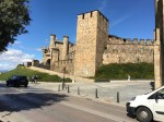
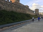
The most impressive site is the  Templar castle built in the 13th century over a destroyed Visigoth fort, which was built over a Roman fort, which was built over a pre-Roman castro. Soon after its completion, the Templars were banished.

According to legend, the castle holds all kinds of secret Templar symbolism, such as the 12 towers representing the 12 months or the 12 disciples.

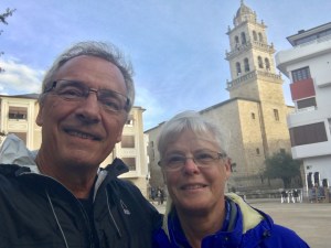
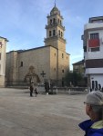
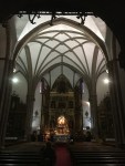
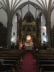
Iglesia de Santa María de la Encina on the Plaza Encinas, houses an image of Mary said to be originally in the Astorga cathedral, but it was hidden in the 9th century for protection from invading Muslims.

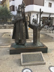
Years later, the image was miraculously found in an oak tree, hence the name “Our Lady of the Oak.” There is a statue in the plaza depicting the miracle.
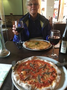
We had a late lunch in our hotel, El Castillo, (55€) and pizza in a nearby plaza at 7:30 and called it a day.